Hiking
Events
-
-
Hiking Group Event: Freedom Trail in the Phoenix Mountain Preserve
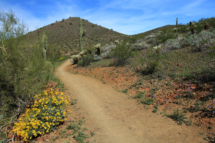
Freedom Trail in the Phoenix Mountain PreserveDate/Time: Tuesday, January 7, 8:30am (plan to arrive 15 minutes early to check in) Hike Leader: George Roundy, please RSVP to groundy@ecorridor.com Area: Phoenix Mountain Preserve Trail Name: Freedom Trail (#302) AllTrails Link: https://www.alltrails.com/trail/us/arizona/freedom-trail-302 Distance: 4.0 mile loop trail Elevation gain: 1,099 feet Difficulty: Hard Address/Directions: Take the Glendale Avenue exit from the 51. Go east…
-
Unity Hiking Group: Hieroglyphic Trail in the Superstitions
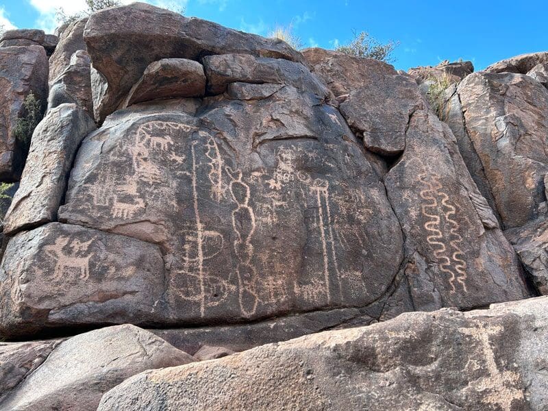
Hieroglyphic Trail Gold Canyon, AZSaturday, January 18th - Hieroglyphic Trail to Petroglyphs Date/Time: Saturday, January 18, 2025 Carpool from Unity of Phoenix parking lot meeting at 8:00 a.m. (arrive 10 minutes early to check in); Hike will begin at the trailhead at 9:30am Hike Leader: George Roundy, please RSVP to groundy@ecorridor.com Area: Superstition Wilderness Area Trail Name: Hieroglyphic Trail to Petroglyphs Map: https://www.alltrails.com/trail/us/arizona/hieroglyphic-trail?sh=xbpubm Distance: 3 miles…
-
-
Unity Hiking Group: Great Horned Owl Loop
Great Horned Owl Loop Meet at Frank & Laurie De La Cruz Home: 26008 N 11th Ave., Phoenix, AZ, United StatesSaturday, February 1st – De La Cruz Residence to Great Horned Owl Loop Date/Time: Saturday, February 1, 2025 Meet at the De La Cruzes at 9:00am Hike Leader: Laurie De La Cruz, please RSVP to groundy@ecorridor.com Area: Union Hills Trail Name: Great Horned Owl Map: (see below) Distance: 4.75 miles Elevation Change: 600’ Difficulty: Moderate Address/Directions: We will start at the home of Frank &…
-
Unity Hiking Group: Black Canyon National Recreation Trail
Black Canyon National Recreation Trail 34580 Old Black Canyon Hwy, Black Canyon City, AZTuesday, February 4th - Black Canyon National Recreation Trail Date/Time: Tuesday, February 4, 2025 8:00 a.m. (arrive 15 minutes early to check in) Hike Leader: Adrian Reznik, please RSVP to arezzy123@gmail.com Area: Black Canyon National Recreation Trail Trail Name: Black Canyon City Map: https://www.arizonahighways.com/black-canyon-national-recreation-trail Distance: 3-4 miles Elevation Change: 240’ Difficulty: Mostly easy to some moderate Address/Directions: Follow I-17 North to Rock Springs Exit…
-
Unity Hiking Group: Javelina Canyon and Ridgeline Loop Trail
Javelina Canyon Trailhead Phoenix, AZSaturday, February 15th - Javelina Canyon and Ridgeline Loop Trail Date/Time: Saturday, February 15, 2025 Carpool from the Unity Church parking lot meeting at 8:00 a.m. (arrive 10 minutes early to check in). We will meet at the trailhead by 8:45am and begin the hike at 9:00am. Hike Leader: George Roundy, please RSVP to groundy@ecorridor.com Map: https://www.alltrails.com/trail/us/arizona/sidewinder-and-ocotillo-trail-loop Area: South Mountain…
-
-
Unity Hiking Group: Sonoran Preserve Hike
Phoenix Sonoran Preserve 705 W Carefree Hwy, Phoenix, AZTuesday, March 4th - Sonoran Preserve Hike Date/Time: Tuesday, March 4, 2025 8:00 a.m. (arrive 15 minutes early to check in) Hike Leader: Adrian Reznik, please RSVP to arezzy123@gmail.com Map: https://www.alltrails.com/trail/us/arizona/sidewinder-and-ocotillo-trail-loop Area: Desert Hills Trailhead (Sonoran Preserve) Trail Name: Sidewinder and Ocotillo Distance: 5.2 miles Elevation Change: 531’ Difficulty: Easy to mostly moderate. Address/Directions : 705 W Carefree Hwy, Phoenix, AZ 85085. Southwest corner of…
-
Unity Hiking Group: Lake Pleasant Hiking Trails
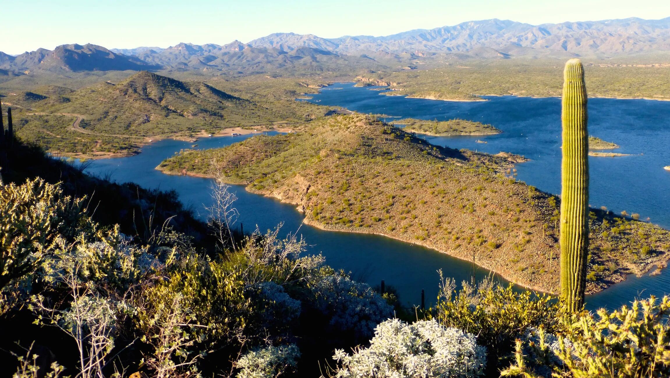
Lake Pleasant North Hiking Trails 41835 North Castle Hot Springs Road, Morristown, AZSaturday, March 15th - Lake Pleasant Date/Time: Saturday, March 15, 2025 8:00 a.m. (arrive 15 minutes early to check in) Hike Leader: Adrian Reznik, please RSVP to arezzy123@gmail.com Area: Lake Pleasant Regional Park Trail Name: Yavapai Point and Pipeline Canyon Trails Map: https://www.alltrails.com/trail/us/arizona/yavapai-point-and-pipeline-canyon-trail Distance: 5.2 miles Elevation Change: 688’ Difficulty: Mostly easy to moderate. Address/Directions: From the intersection of I-17 and AZ-74 / Carefree Highway…
-
Hiking Group Event: Dream Draw Hike
Dreamy Draw Loop Trail Phoenix, United StatesThis trail is in a figure 8 with two loops. For those who want a shorter hike, you can complete the first loop, which is about 2 miles and you will be near the parking lot. Date/Time: Saturday, March 22, 2025 8:30 a.m. (arrive 15 minutes early to check in) Hike Leader: Henry Klimkowski, please RSVP…
-
-
Hiking Group Event: Pinnacle Peak Trail
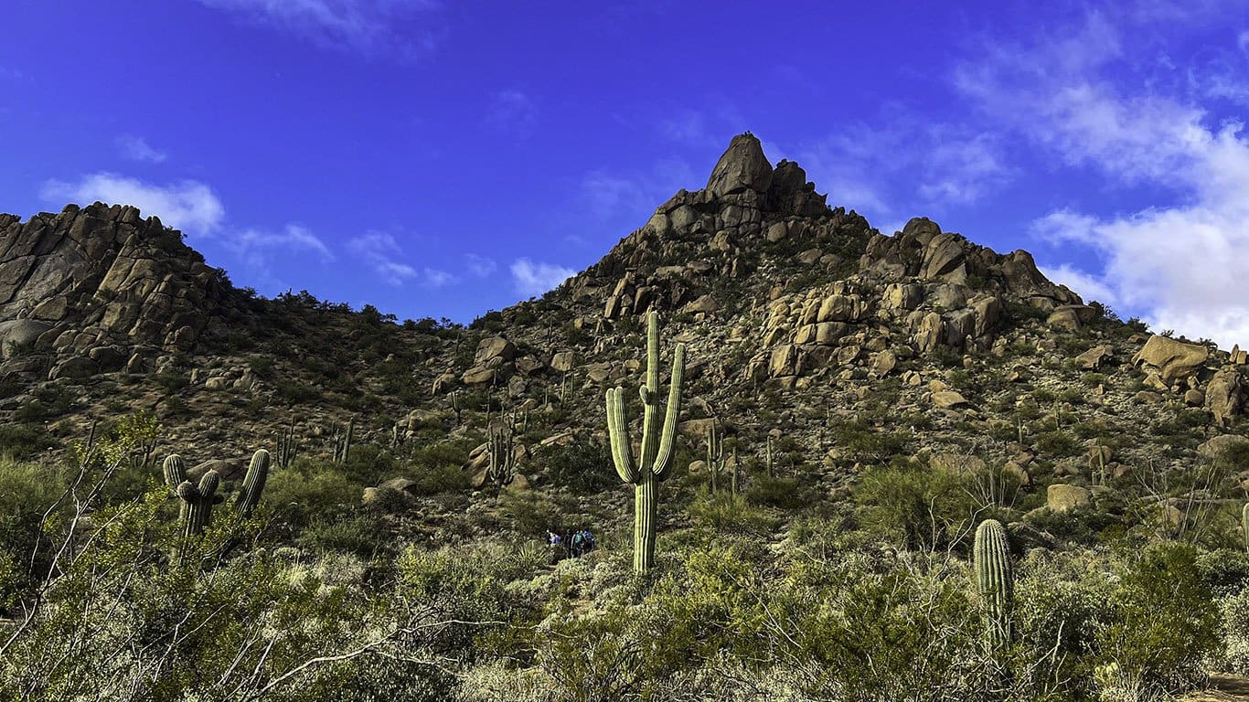
Pinnacle Peak ParkDate/Time: Tuesday, April 1, 2025 8:30 a.m. (arrive 15 minutes early to check in) Hike Leader: George Roundy, please RSVP to groundy@ecorridor.com Area: Pinnacle Peak Park Trail Name: Pinnacle Peak Trail Map: https://www.alltrails.com/trail/us/arizona/pinnacle-peak-trail Distance: 4.1 miles Elevation Change: 1,020’ Difficulty: Moderate to challenging. Address/Directions: From the 101, take exit 36 on Pima Road, go North on Pima Road for 6.8 miles. Turn left (East)…
-
-
Unity Hiking Group: SAVE THE DATE for a Weekend Outing to Chiricahua National Monument
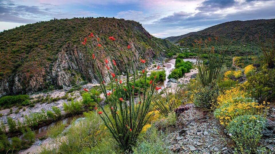
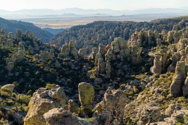
Chiricahua National Monument Wilcox, AZAs we come to a close of our 24 / 25 hiking season (October 2024 thru May 2025) and prepare for the kickoff of our 25/26 season in October 2025, we have a wonderful opportunity lined up. If you have never hiked the Chiricahua National Monument (see picture below) please don't miss this opportunity. If…
-
-
Hiking Group: Dreamy Draw Loop Trail
Dreamy Draw Loop Trail Phoenix, United StatesThis is a figure-8 trail with each of two loops beginning at the parking lot. For those who want a shorter hike, you are free to end your hike when we return to the parking lot as we complete the first loop, which is about 2 miles long. Date/Time: Saturday, December 27, 2025, 9:00 a.m. …
-
-
Hiking Group: New Year’s Day Full Moon Hike – Shaw Butte
Shaw Butte Trail on North MountainThis event has been cancelled due to unfavorable conditions. Date/Time: Moonlight Hike - Thursday, January 1st, 6:30pm (Please plan to arrive 15 minutes early to check in) Hike Leaders: Henry Klimkowski, 609-502-2008 & Jane Boyd 602-989-6230 (Please RSVP to HenryK_Jr@hotmail.com) Area: North Mountain Trail Name: Shaw Butte AllTrails Link: https://www.alltrails.com/trail/us/arizona/shaw-butte-via-shaw-butte-trailhead Distance: 2.8 mile out and…
-
Hiking Group Event: Shaw Butte and Charles M Christiansen Loop
Shaw Butte Trail on North MountainWednesday, January 14th - Shaw Butte from the North Mountain Visitor Center Date/Time: Wednesday, January 14, 2026 at 9:00 am (arrive 15 minutes early to check in) Hike Leaders: Henry Klimkowski, 609-502-2008 & Bill DeBarba, 602-625-2510 Please RSVP to HenryK_Jr@hotmail.com Area: Phoenix Mountain Preserve Trail Name: Shaw Butte and Charles M Christiansen Loop Map: https://www.alltrails.com/trail/us/arizona/shaw-butte-and-charles-m-christiansen-loop-trail?u=i&sh=wk6cxl…


